Magnetometer Survey
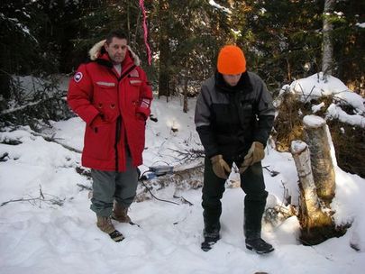
Zdenek and Bjorn setting up the base station
A mag survey is done to measure the magnetics of the bedrock. The instrument is worn with the display resting on your stomach. Readings are taken in the field and downloaded to the computer. At the end, you can generate a map showing the magnetics of the ground you covered.
The earth's magnetic field is continually changing slightly for unknown reasons. To compensate for these minor variations, a base station is set up in a fixed location to record the daily variations and adjust the final data to reflect these.
Zdenek came to train us for a few days and then we were on our own.
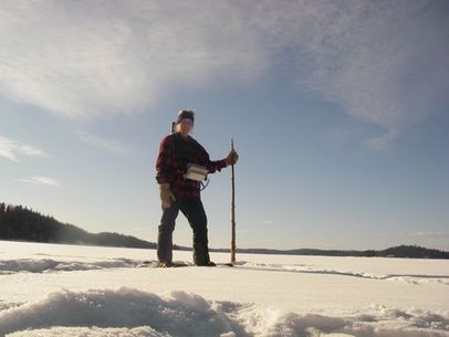
When the instruments are working (I had enough trouble with the wiring in the cables), the collecting data part is quite enjoyable. You are walking on grid lines all day and that is it. No bad bush to cut through.

It was cold every morning and finally, as suggested by those in charge, we didn't go out until around 10:00a.m. when the temperature was up to -25 Celsius.
The thing behind my head is the sensor. The sensor is temporarily charged and discharged. This is the reading that indicates how magnetic the rock below is.
The thing behind my head is the sensor. The sensor is temporarily charged and discharged. This is the reading that indicates how magnetic the rock below is.
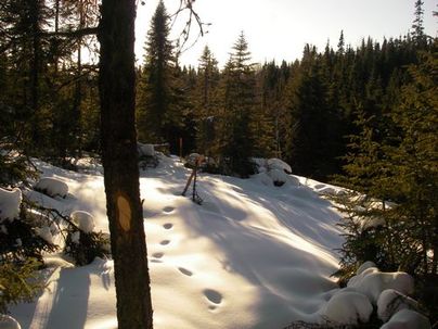
Grid Line in the afternoon sun
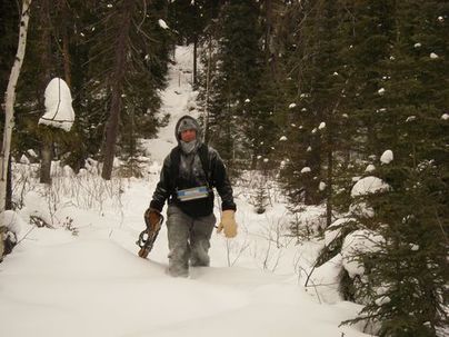
Brian, with a broken snowshoe and two dead batteries. The cold drains batteries very quickly.
